| WAT JAN 4 (วัดจันทร์) |
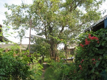
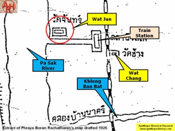
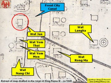
| Wat Jan or the Monastery of the Moon was located outside the city island in the eastern area of Ayutthaya Kramang sub-district, opposite the train station. There are no visible traces remaining of this monastery at ground level. A Ficus Religiosa or Bodhi tree was found just north of the street leading from the ferry to the train station likely indicates the premises of this old temple. Its historical background and period of construction are unknown. The temple is mentioned on Phraya Boran Rachathanin's (PBR) map drafted in 1926, but features also on a map drafted in the mid 19th century. On the PBR map the temple is called "Monastery of the Moon" (วัดจันทร์), while on the other map it is called "Monastery of the Gold Apple" (วัดจัน). The site is located in geographical coordinates: 14° 21' 24.38" N, 100° 34' 53.84" E. Footnotes: (1) The denomination of Phraya Boran Rachathanin has here been followed. |

| | | | | | | | |
| | | | | | | |
| Text, photograph & maps by Tricky Vandenberg - February 2009 Updated November 2010, May 2014 |
| (View of the location of the former monastery) |
| (Detail of Phraya Boran Rachathanin's map - Anno 1926) |
| (Detail of a 19th century map - map is orientated S-N) |
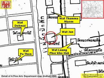
| (Detail of a 1993 Fine Arts Department map - Courtesy Khun Supot Prommanot, Director of the 3th Regional Office of Fine Arts) |
