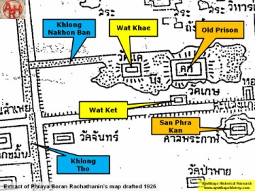
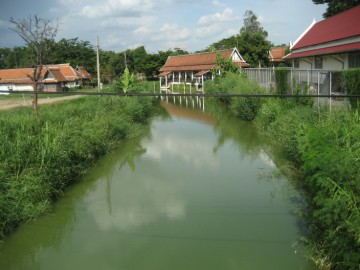
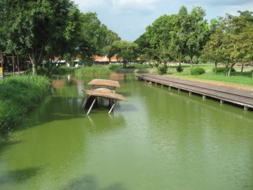
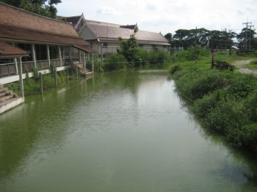
Khlong Nakhon Ban is a side-canal of Khlong Tho. The canal had its mouth north of
the Lam Hoei Bridge on the east bank of Khlong Tho. The waterway runs in an eastern
direction, north of Wat Khae and the old prison (defunct), to turn shortly behind the
prison straight south towards Wat Ket and the city drum tower (defunct).
Nearly the whole area fed by Khlong Nakhon Ban was swampy and could as thus have
been an extension of Bueng Phra Ram (formerly known Dong Sano), although the latter is
difficult to confirm at present.
The canal is indicated on Phraya Boran Rachathanin's map drafted in 1926.
|