| WAT LUANG (วัดหลวง) |
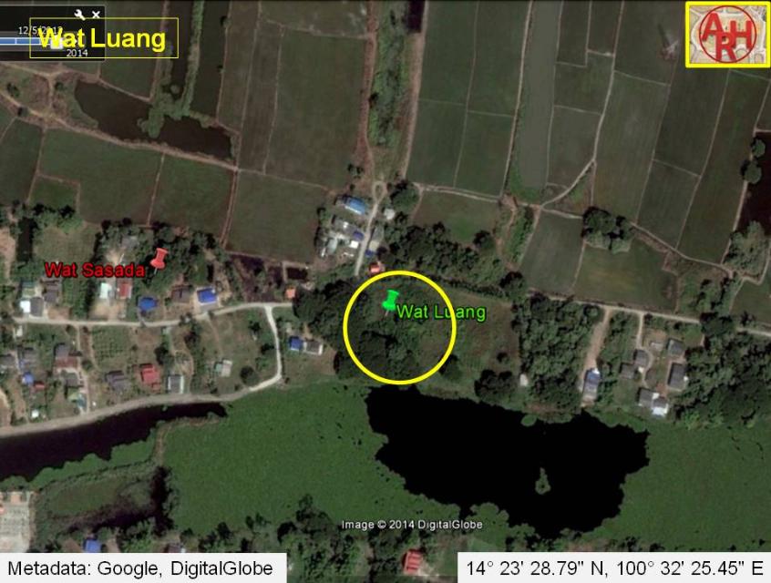
| Wat Luang or the Royal Monasterywas located off the city island in the northern area of Ayutthaya in Wat Tum Sub-district. The monastery features only on a 1993 Fine Arts Department map. In situ is a large brick mound. Some digging occurred recently and a lot of bricks - likely from the temple foundations - were excavated. On the west side, three large Bodhi trees (Ficus Religiosa) remain as still witnesses. The historical background and period of construction of this former monastery are unknown. Wat Luang stood northeast of Wat Tum and east of Wat Sasada. The temple was situated within a loop of the old Lopburi River of which the southern part is at present called Khlong Wat Tum. At a certain moment a short cut or khlong lat had been dug to straighten the Lopburi River. The latter canal was called Khlong Bang Khuat referring to the village Ban Bang Khuat in which vicinity the canal was dug. The monastery could have been named after a village called Ban Bang Luang. In old texts we find for example the Bang Luang tax station and a Bang Luang canal referring as thus to a location called Bang Luang. [1] The tax station though is situated more north of Wat Luang near Wat Tha Yak, south of Wat Dao Khanong. References: [1] Athibai Phaenthi Phra Nakhon Sri Ayutthaya kap khamwinitjai khong Phraya Boran Racha Thanin - Explanation of the map of the Capital of Ayutthaya with a ruling of Phraya Boran Rachathanin - Revised 2nd edition and Geography of the Ayutthaya Kingdom - Ton Chabab print office - Nonthaburi (2007) - page 94. |

| | | | | | | | |
| Text, maps & photographs by Tricky Vandenberg - May 2009 Reviewed August 2011, November 2013, December 2014 |
| | | | | | | |
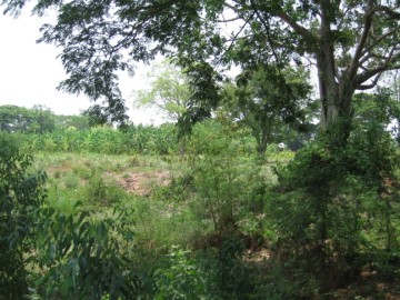
| (View of the location) |
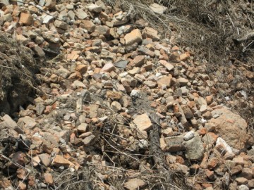
| (Scattered bricks in situ) |
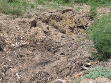
| (Digging in situ - Anno 2009) |
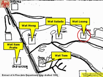
| (Detail of a 1993 Fine Arts Department map - Courtesy Khun Supot Prommanot, Director of the 3th Regional Office of Fine Arts) |