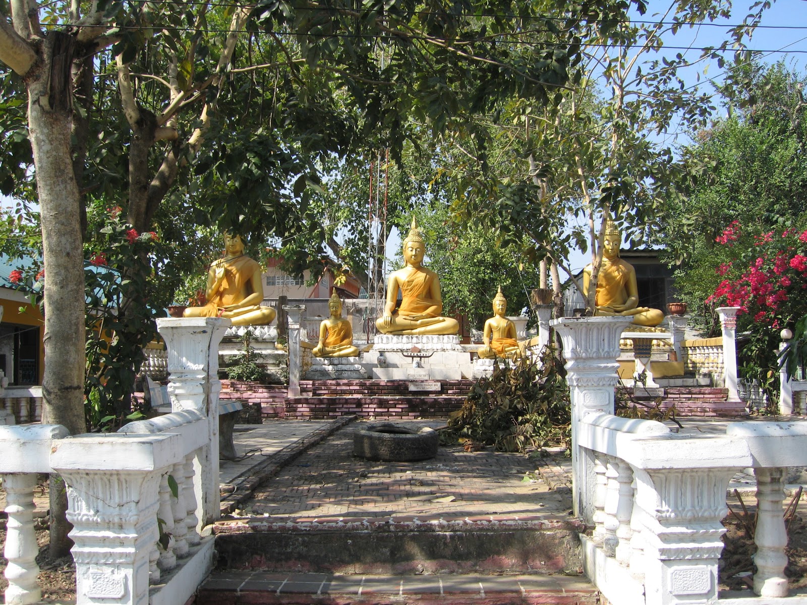
Wat Kamphaeng, or the Monastery of the Wall, is a Buddhist shrine on top of an old monastic site situated on the Ayutthaya’s city island in the Pratu Chai Sub-district. The site is located south of Rojana Road and east of Khlong Makham Riang. (1)
Wat Suwan Dararam was on its south-eastern side, while Wat Tha Pho stood in the south near the confluence of the canal. The foundations of the monastery are buried under the present Buddhist shrine set in place.
Its historical background and period of construction are unknown.
Maps
On a 19th-century map drafted by an unknown surveyor, Wat Kamphaeng stands along the east bank of Khlong Nai Kai, northwest of Wat Suwan, north of Wat Tha Pho and south of Wat Khok Phao Khao. The temple is not indicated with a stupa.
Wat Kamphaeng is indicated on Phraya Boran Ratchathanin's map of 1926 CE and is more or less positioned the same as on the mid-19th century map. Phraya Boran was the Superintendent Commissioner of Monthon Ayutthaya from 1925 till 1929 CE.
The site is in geographical coordinates: 14° 20' 57.22" N, 100° 34' 38.29" E.
Footnotes:
(1) Khlong Makham Riang, or the Canal of the aligned Tamarind Trees, was before called Khlong Nai Kai. It is a still existent canal situated east on Ayutthaya's city island. The canal was a shortcut in the oxbow of the old Lopburi River. It has today its origin at Khlong Ho Ratana Chai below Wat Senasanaram and the Front Palace, and its mouth at the present Chao Phraya River, west of Phet Fortress. At the mouth was one of the eleven water gates of Ayutthaya called Pratu Nai Kai. The southern exit, which has today a water regulator, has been altered, as the original mouth of the canal was about 170 metres more south, close to Pom Phet. Khlong Makham Riang is one of the three large canals running north to south, of which two still are in existence.