Wat Khwit, or the Monastery of the Elephant Apple (1), was located off the city island in the northern area of Ayutthaya, in the Wat Tum Sub-district, east of Highway # 347.
Some remains of the temple were excavated by the Fine Arts Department (FAD) in geographical coordinates: 14° 23'19.94" N, 100° 31' 46.70" E (based on the 2007 map).
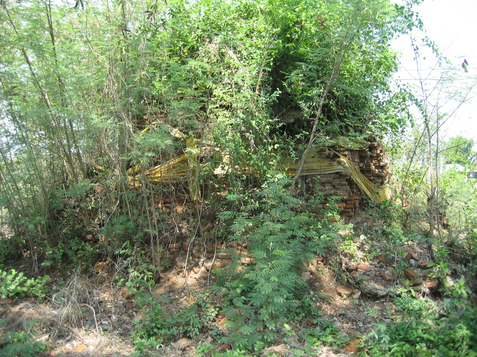
In situ is a single, largely eroded chedi covered in vegetation, making it challenging to identify. There is also a structure nearby that resembles part of a wall, covered by a dirt mound and several trees. The usual scattering of bricks can be found all over the site. Wat Khwit stood south of Wat Long Thong (restored ruin) on the west bank of the loop in the old Lopburi River. Its historical background and period of construction are unknown.
The monastery shows on a 1993 and 2007 CE Fine Arts Department map.
On the 1993 CE Fine Arts Department map, however, its location is slightly inaccurate as Highway #347 had yet to be constructed.
There is a ruin with a similar name in the Khlong Sra Bua Sub-district.