Wat Sasada, or the Monastery of the Religious Founder, is situated off the city island in the northern area of Ayutthaya, in Wat Tum Sub-district, Moo 3. The monastery features on a 1993 and 2007 CE Fine Arts Department map.
Wat Sasada stood north of Wat Tum and between Wat Hong (aka Wat Khian) and Wat Luang (aka Wat Nang Loeng). The temple was situated within a meander of the old Lopburi River, of which the southern part is called Khlong Wat Tum. Presumably, in the reign of King Narai, a shortcut had been dug to straighten the Lopburi River. The shortcut was called Khlong Bang Khuat, after the village Ban Bang Khuat where the by-pass canal had been dug. This village was situated on the east bank of the shortcut canal, just north of Ban Suan Yo and Wat Klang Raman.
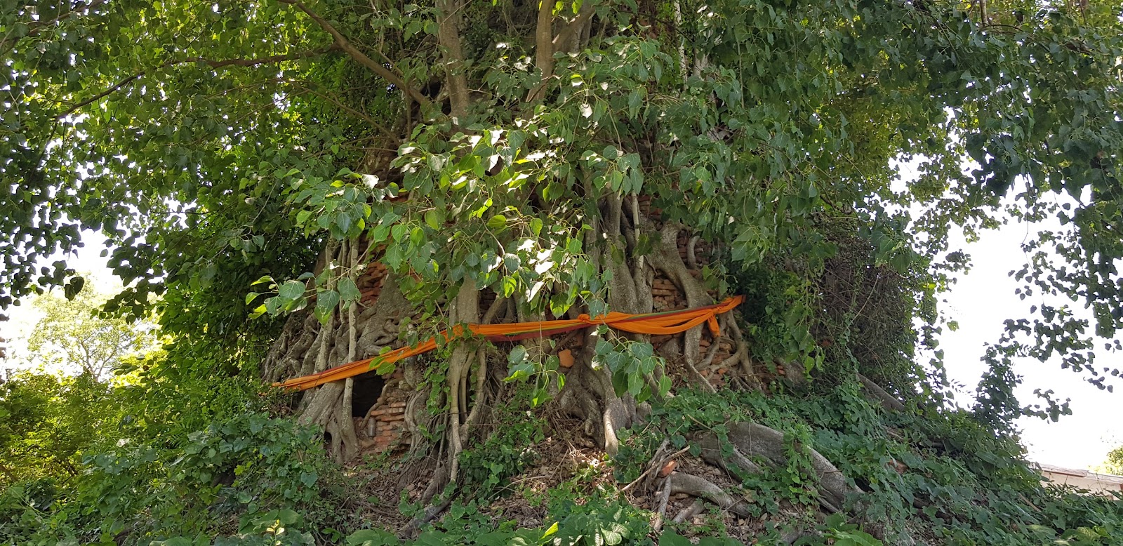
A large bell-shaped chedi, covered in vegetative growth, still stands at the site. A Bodhi tree engulfs a significant portion from its tip to the foundation layer. The relic chamber contains traces left by looters seeking relics. There are sections of headless Buddha images beside the chedi and many scattered bricks.
A brick mound on private property near this site might indicate a former monastic structure.
The date of establishment or the history of this monastery is unknown.
Wat Sasada is in geographical coordinates: 14° 23' 30.51" N, 100° 32' 18.22" E.