Wat Si Liam, or the Square Monastery (1), is located off the city island in the northern area of Ayutthaya, in Lum Phli Sub-district, village 1. The monastery was situated on the west bank of the old Lopburi River, a stretch named Khlong Hua Ro (2). Wat Pom Raman stands north on the opposite bank of the canal, while Wat Phraya Maen, Wat Dokmai and Wat Bua are in the south.
The brick ruin can be accessed along Road No 3060 on the east side.
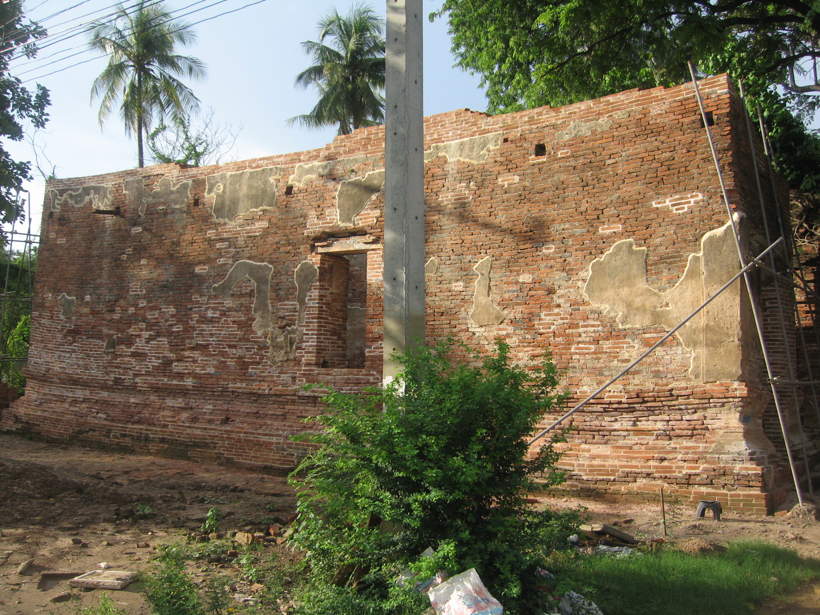
'Si Liam', which means 'four edges' (1), describes the rectangular form of the building. The lower base of the structure is in a "junk shape", typical for construction of the late Ayutthaya period (1633-1767 CE).
Its historical background and exact period of construction are unknown.
The ruin shows on a 1974, 1993 and 2007 CE Fine Arts Department (FAD). On the 1993 FAD map, the structure has no denomination.
The ruin is in geographical coordinates: 14° 22' 48.88" N, 100° 33' 21.82" E.
Another temple bearing the same name is located off the city island in the eastern area, in the Phai Ling Sub-district.