tWat Thong, or the Golden Monastery, was situated on the city island in the Ayutthaya Historical Park in the Pratu Chai Sub-district. The temple was located on the north bank of Khlong Pa Mo (1).
On its north stood Wat Pa Mo (defunct), and east Wat Chana Man (defunct). The site lies south of the present Tourist Centre within the Juvenile Detention area.
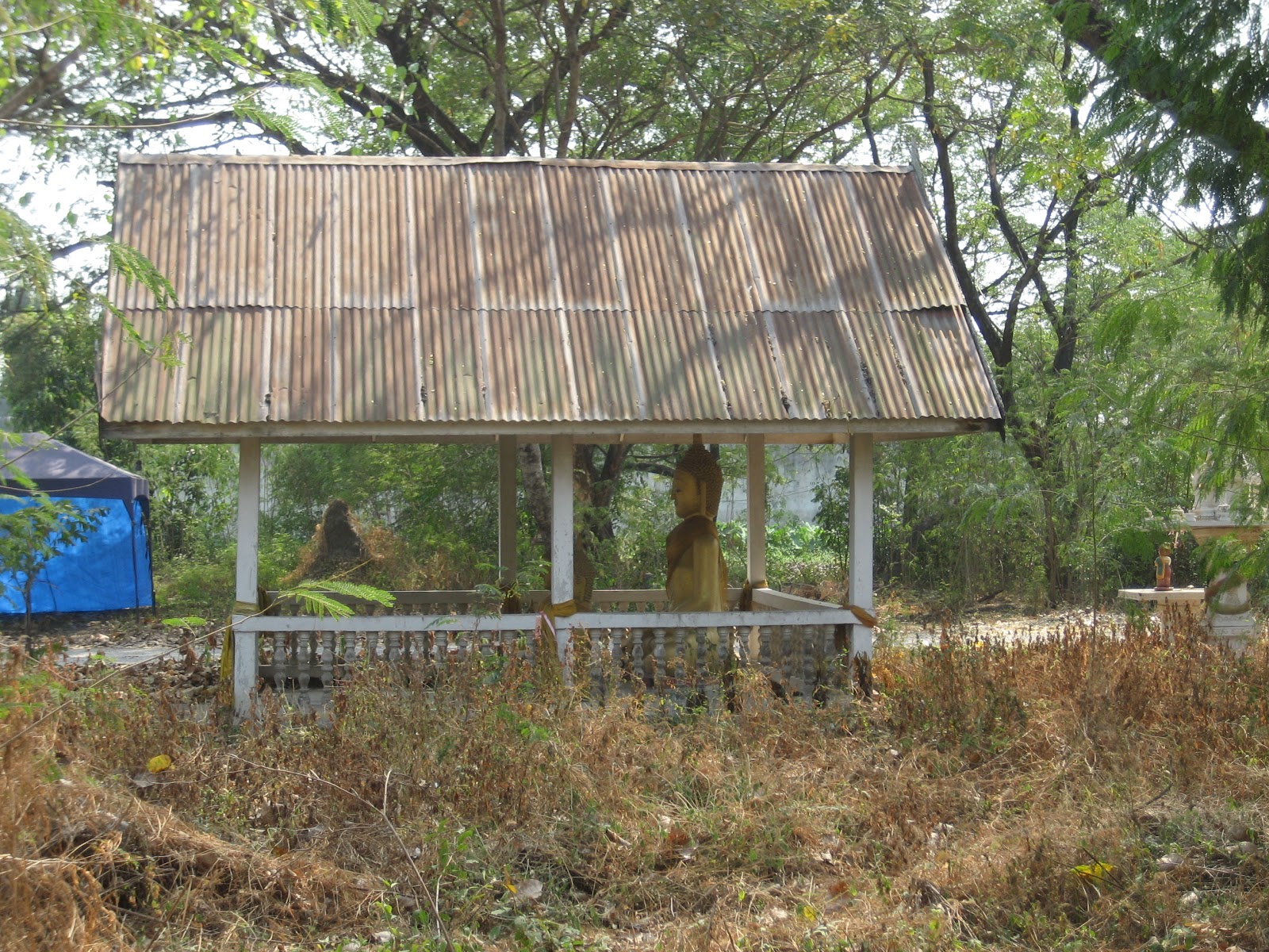
In situ is only a tiny vihara with a Buddha image of the recent period. No other traces are visible at ground level.
The site is mentioned on Phraya Boran Rachathanin's map drafted in 1926 CE. The name of the monastery though, is mentioned as Wat Nong.
When we look at a 19th-century map by an unknown surveyor, it becomes a bit more complicated. This old map mentions ten structures in the square delineated in the north by the old Talaeng Kaeng road, in the east by Khlong Chakrai Noi, in the south by the old ring road and in the west by Khlong Chakrai Yai. PBR's map mentions only seven structures.
After comparing the maps, it is the author's opinion that Wat Thong Pa Mo Noi, on the 19th century map, matches Phraya Boran Ratchathanin's location of Wat Pa Mo the best. Wat Thong should be then the location of Wat Thong Pa Mo Yai on the mid-19th century map. The latter map indicates the presence of a chedi at the time when the map was drafted.
Historical data about the monastery and its construction is unknown.
The site is in geographical coordinates: 14° 20' 53.57" N, 100° 33' 34.33" E.
Footnotes:
(1) Khlong Pa Mo, or the Pot Quarter Canal, is a defunct canal. It was an eastward extension of Khlong Tha Phra and started at the latter's confluence with Khlong Chakrai Yai. Beyond this confluence, it continued in an eastern direction as Khlong Pa Mo and joined the Pratu Thep Mi Canal. There is evidence that this canal continued eastwards in a straight line to join Khlong Makham Riang.