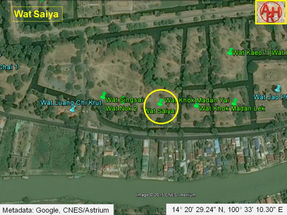
Wat Saiya was located in the southwestern area of Ayutthaya’s city island in the Pratu Chai Sub-district. It was situated in the Somdet Phra Sri Nakharin Park, part of the Ayutthaya Historical Park. The site of the former monastery is accessible via U-Thong Road.
The monastery belonged to a cluster of temples located along a canal connecting Wat Luang Chi Krut with Wat Jao Prap, running parallel with the city’s defence wall.
This cluster of temples was located in a residential area in the reign of King Chakkraphat (1548-1569 CE), also called the Lord of the White Elephants. Thianracha had his princely residence in the area before ascending the throne. The location was important, as most of the palace officials and high ranked persons were living on both sides of the Lopburi River between Wat Phutthaisawan and Wat Chai Watthanaram.
The last traces above the ground level of this temple probably disappeared when the Somdet Phra Sri Nakarin Park was constructed. Only a large grass field remains.
Its historical background and the exact construction period are unknown, although it is very likely that the former monastery was built in the middle Ayutthaya period (1488 - 1629 CE).
Wat Saiya stood in geographical coordinates: 14° 20' 29.24" N, 100° 33' 10.30" E.
The monastery was likely named Wat Saiyat, referring to the reclining Buddha. Its misspelt name appears first on Phraya Boran Rachathanin’s map drafted in 1926 CE. Another spelling Chaiya (ไชยา), was given on a Fine Arts Department map of 1974 CE.